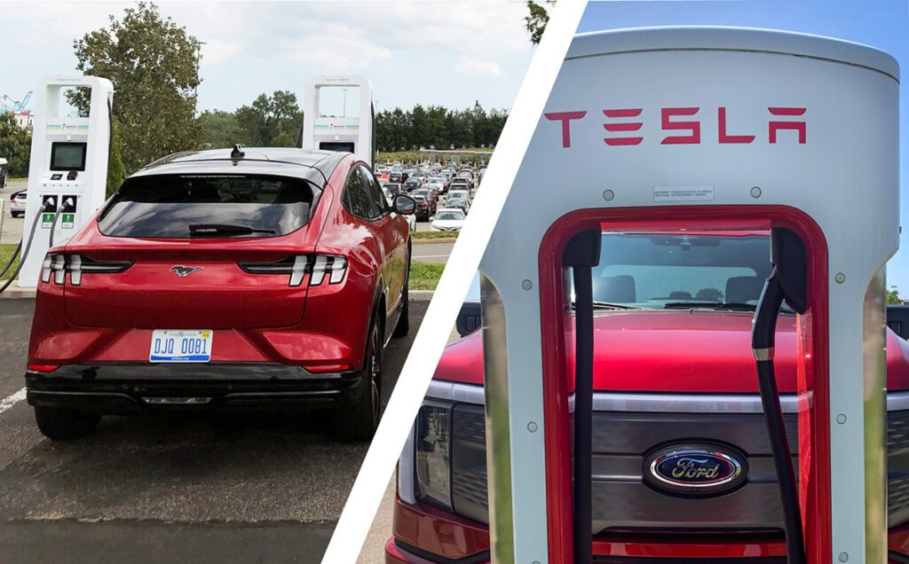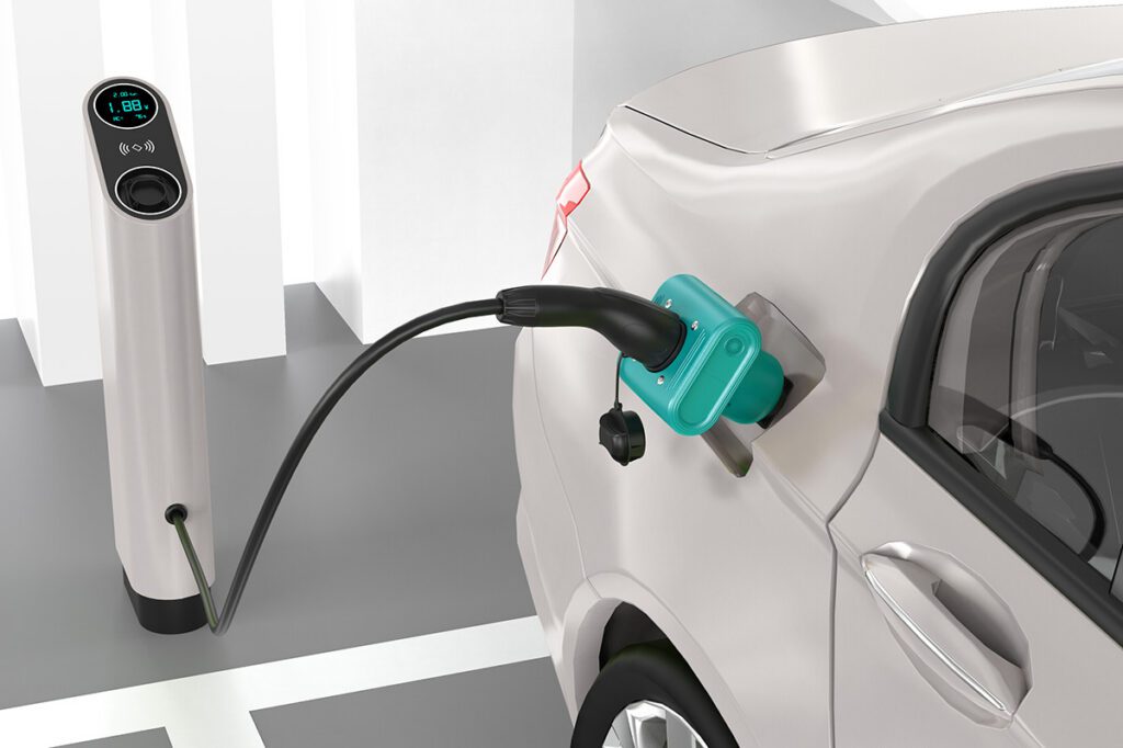


When deploying public charging stations, selecting the best sites is critical. Hundreds of chargers around the country sit unused—we’ve all driven by them—and most of these were installed years ago, before planners understood the importance of proper siting.
Now researchers at Oak Ridge National Laboratory have developed a nationwide modeling tool to help infrastructure planners decide where and when to locate fast charging stations along interstate highways.

The free open-source software, called REVISE-II, takes into account EV growth forecasts, charging technology capabilities, intercity travel trends and driver demographics to help planners make good siting decisions.
Planners can select various assumptions, and the model will generate scenarios for future infrastructure requirements, so that selected sites will not only fulfill today’s needs, but also accommodate future growth as more EVs are adopted.
“Providing infrastructure for intercity charging is a necessary step to make EVs fully competitive with conventional vehicles,” ORNL’s Fei Xie said. “This is a freely available planning tool that takes into account the complexity of intercity travel and helps decision makers more carefully plan these capital-intensive projects to support a nationwide, electrified future.”
Source: Oak Ridge National Laboratory